Duration: 2 days.
Difficulty level: Moderate (also includes easy sections).
Day 1 (Distance: 8 km / 3 h 50 min)
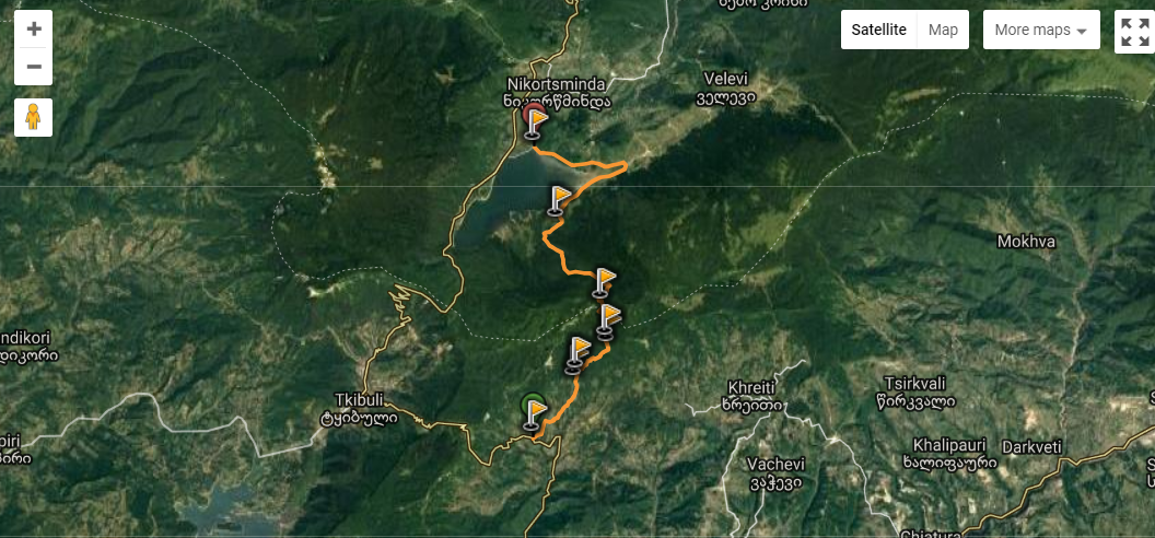
The route starts from the village Mukhura and heads to Nakerala campsite with the trail of easy difficulty. After passing of 2 km from the start, the path becomes the one of moderate level of difficulty and begins to ascend Nakerala ridge through the woody valley. From this point, the path gradually gains an altitude, reaches the top of ridge and finally ends at Nakerala campsite.
Nakerala ridge separates Racha and Imereti regions. It offers spectacular views over both regions.
Day 2 (Distance: 13 km / 4 h)
From Nakerala campsite, the path begins to descend sharply, goes along the valley covered with dense forest and after passing of 6 km, descends to the Shaori Reservoir. From this point, the path turns into easy level of difficulty, turns right, goes along the coastal strip and finally ends in the vicinity of the main highway, at the cottages built near the shore.

Note:
• There are many springs and streams on the trail;
• High amplitude of day-night temperature alternations is characteristic for this area.

